
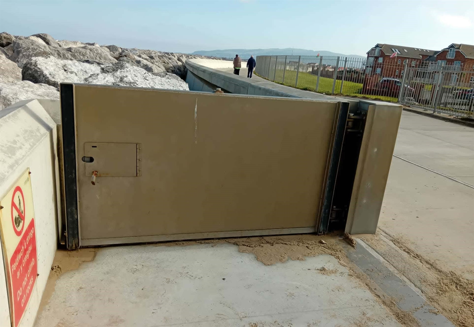
Denbighshire County Council has launched a new online guide to help residents and visitors understand how the coastal flood gates between Rhyl and Prestatyn operate.
The resource explains why the gates are used, when they may be closed during severe weather or high tides, and includes a map showing the location of every flood gate along the coastline.
The gates are an important part of the area’s sea defences, helping to protect homes, businesses and local infrastructure from storm surges and coastal flooding while still allowing public access to the beaches when it’s safe.
Councillor Barry Mellor says the new guide will help people plan walks along the promenade and better understand why some gates may occasionally be closed to protect coastal communities.
The council has also announced that new signs will be installed along the coast to make the flood gate system easier to identify.